
Geopolitical AI Rivalries and Internal Administration Strife: The Impact of China’s Kimi Model on US Tech Policy
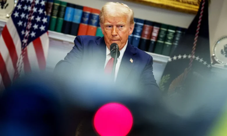
The internal cohesion of the Trump administration’s artificial intelligence advisory circle fractured over the weekend as current and former officials engaged in a high-profile exchange of insults regarding the direction of U.S. technology policy. The public disagreement, played out largely on social media, underscores a deepening divide within the executive branch over how to respond to the rapid advancement of Chinese AI capabilities. At the center of the controversy is the release of Kimi, a high-performing, open-source large language model (LLM) from the Chinese startup Moonshot AI, which has fundamentally challenged the economic and security assumptions of American "frontier" AI developers like OpenAI and Anthropic.
The discord reached a boiling point when David Sacks, who served as President Trump’s AI and cryptocurrency "czar" until March, issued a scathing critique of leading American AI models. Sacks characterized models produced by Anthropic and OpenAI as "lobotomized" and "woke," suggesting that excessive safety guardrails and political correctness have rendered American technology less competitive. The tension escalated further when Emil Michael, a senior official at the Department of Defense, publicly disparaged Dean Ball, a former Trump AI advisor who recently transitioned to a leadership role at OpenAI. Michael referred to Ball as a "supreme village idiot" following Ball’s criticism of new federal oversight mechanisms.
The Catalyst: The Rise of Moonshot AI’s Kimi
The immediate trigger for this administrative infighting is the unexpected performance of Kimi, a model released by Beijing-based Moonshot AI. Unlike the subscription-based models offered by U.S. firms, Kimi is free and utilizes an open-source framework that allows for rapid global adoption. Preliminary benchmarks suggest that Kimi’s reasoning capabilities and context window—the amount of data the model can process in a single prompt—rival or exceed those of Anthropic’s Claude and OpenAI’s GPT-4.
For the Trump administration, the existence of a free, high-tier Chinese model presents a multifaceted crisis. Economically, the valuation of U.S. tech giants is heavily predicated on their ability to monetize proprietary AI through "Software as a Service" (SaaS) models. If a Chinese alternative offers similar utility at zero cost, the market incentive for American enterprises to invest in domestic AI services diminishes. This shift has already begun to rattle U.S. equity markets, with analysts at major investment banks warning that the "moat" surrounding American AI labs may be shallower than previously estimated.
Internal Factions and the Policy Schism
The debate has divided the administration’s strategists into two primary camps: the "Open-Source Libertarians" and the "National Security Interventionists."
David Sacks represents the former. His departure from the administration in March did not signal an end to his influence, but rather a shift to an external pressure role. Sacks argues that the primary threat to U.S. dominance is not China, but rather "regulatory capture" by domestic companies. He contends that OpenAI and Anthropic are lobbying the government to impose strict licensing requirements on AI development—effectively outlawing open-source competition under the guise of safety. According to Sacks, the "woke" constraints placed on U.S. models make them less attractive to global users who prefer the less restricted, albeit state-censored, outputs of Chinese models.
Opposing this view is a faction led by Department of Defense officials and Secretary of Defense Pete Hegseth. This group views AI through a strictly militaristic and national security lens. They argue that because frontier AI models have reached a level of sophistication where they could assist in the creation of biological weapons or facilitate massive cyberattacks, the government must treat them as dual-use technologies subject to rigorous federal vetting.
This ideological clash manifested in the recent White House review process, a new mandate requiring AI companies to submit their models for security audits before public release. Dean Ball, speaking from his new position at OpenAI, characterized this process as a "de facto licensing regime," arguing it stifles innovation and plays into China’s hands by slowing down American development. Emil Michael’s "village idiot" retort was a direct defense of this interventionist policy, which he maintains is a product of the "democratic process" rather than a clandestine "Deep State" plot to control technology.
A Chronology of Escalating Tensions
The current crisis is the culmination of several years of shifting policy and technological breakthroughs. To understand the gravity of the weekend’s events, one must look at the timeline of the U.S.-China AI race:
- October 2022 – October 2023: The Biden administration implemented sweeping export controls designed to prevent China from acquiring high-end semiconductors, specifically Nvidia’s A100 and H100 chips.
- January 2025: Upon taking office for a second term, President Trump initially maintained these controls but faced immense pressure from the semiconductor industry to allow limited sales.
- Late 2025: In a controversial move, the Trump administration reached a deal with Nvidia, allowing the company to sell modified chips to Chinese firms in exchange for a percentage of the revenue being paid directly to the U.S. Treasury as a "security tariff."
- April 2026: Reports surfaced of "distillation" practices, where Chinese firms used the outputs of American models to train their own, significantly closing the capability gap. The administration announced a crackdown on these practices, but enforcement proved difficult.
- June 2026: Anthropic’s latest model was briefly ordered to cease operations by federal regulators due to concerns over its ability to assist in "red-teaming" critical infrastructure.
- July 2026: New York became the first state to ban the construction of new data centers, citing energy grid instability. This domestic constraint on compute power coincided with the launch of Kimi in China.
The Economic and Geopolitical Stakes
The economic implications of China’s AI surge are profound. Anton Leicht, a fellow at the Carnegie Endowment, noted that the Trump administration is particularly sensitive to economic indicators that might suggest a loss of American technological hegemony. "They really don’t want more economic bad news," Leicht observed, highlighting that AI-driven growth has been a cornerstone of the current administration’s "America First" economic narrative.
The New York data center ban has further complicated the landscape. As U.S. companies face rising costs and regulatory hurdles to build the infrastructure necessary for AI training, Chinese firms are benefiting from state-subsidized energy and a centralized push to expand their own compute clusters. If American companies are forced to charge higher prices for AI access while Chinese models remain free, the global "AI South"—developing nations in Southeast Asia, Africa, and Latin America—may pivot toward Chinese ecosystems, creating a long-term geopolitical dependency on Beijing’s technology stack.
Technical Analysis: How Did China Close the Gap?
One of the most contentious points in the current debate is how Moonshot AI managed to produce a model of Kimi’s caliber despite U.S. chip sanctions. While the administration has alleged that chip smuggling remains a persistent issue, technical experts suggest a more nuanced reality.
China has become increasingly proficient in "algorithmic efficiency"—the ability to do more with less computing power. Furthermore, the practice of "model distillation" has allowed Chinese researchers to use high-end U.S. models as "teachers." By analyzing the logic and outputs of GPT-4, Chinese developers can train smaller, more efficient models to mimic that logic without needing the same massive "brute force" compute resources originally used by OpenAI.
In April 2026, the Trump administration announced efforts to curb this by proposing "output watermarking" and digital export restrictions on model weights. However, the release of Kimi suggests these efforts may have been too little, too late.
Official Responses and Future Outlook
While the President has not commented directly on the insults traded between his advisors, the White House Press Office issued a brief statement emphasizing that "the administration remains committed to ensuring that American AI is the safest, most powerful, and most representative of Western values in the world."
However, the "village idiot" exchange reveals a lack of consensus that could paralyze future policy. If the administration moves toward Sacks’ vision of a deregulated, open-source-friendly environment, it risks losing oversight of national security threats. If it follows Michael’s interventionist path, it risks alienating the very tech giants and investors that fuel the American economy.
The broader implication of the Kimi release is a shift in the global AI power dynamic. For the first time, a non-Western entity has produced a model that is not just a "fast follower" but a legitimate peer to the best Silicon Valley has to offer. As the Trump administration grapples with this new reality, the internal sparring between its top advisors suggests that the path forward will be defined by friction, both within the halls of power and across the Pacific.
The coming months will likely see increased pressure on the administration to either further restrict chip exports or, conversely, to provide massive federal subsidies for domestic compute power to offset the advantages of China’s state-backed model. Regardless of the choice, the "AI peace" that once characterized the U.S. tech sector’s relationship with the government appears to be over, replaced by a volatile era of geopolitical competition and internal political strife.


