China Revolutionizes Mineral Exploration with Artificial Intelligence Systems Cutting Survey Timelines from Months to Weeks

The landscape of global mineral exploration is undergoing a seismic shift as China, the world’s leading producer and consumer of critical minerals, unveils advanced artificial intelligence systems capable of identifying lucrative geological deposits at unprecedented speeds. During the 28th China Mining Conference and Exhibition in Tianjin, the China Geological Survey (CGS), operating under the Ministry of Natural Resources, officially introduced two sophisticated AI platforms: AI-GeoMapping and AI-OreSeeking. These tools, designed to process vast swathes of geological data, are set to fundamentally alter how nations and mining corporations discover resources ranging from gold and copper to essential battery materials like lithium, cobalt, and nickel.
The introduction of these technologies marks a significant milestone in the integration of high-performance computing with traditional geoscience. For decades, the process of mineral prospecting has been labor-intensive, time-consuming, and prone to the inherent uncertainties of manual geological interpretation. By leveraging machine learning, big data analytics, and multi-source remote sensing, the CGS claims to have reduced the timeframe for comprehensive mineral prediction and evaluation from approximately six months to a mere seven days.
Chronology and Development of the Technology
The trajectory toward AI-driven geological exploration in China has been a strategic objective for the CGS for several years. The initiative began as a response to the increasing difficulty of finding high-grade, easily accessible mineral deposits. As surface-level resources have become largely depleted, geologists have been forced to look deeper underground, requiring more complex data sets and more sophisticated interpretation methods.
In the years leading up to the 2024 Tianjin exhibition, the CGS engaged in extensive testing across diverse geological terrains. The systems were piloted in over 100 distinct projects spanning more than 10 provincial-level regions in China. This iterative process allowed developers to refine the algorithms using real-world feedback. By the time of the official launch, the systems had already been tested on nearly 100 geological maps, proving their utility in varied environments. Furthermore, the technology has transcended national borders, with successful applications in international settings including Morocco, Saudi Arabia, and Laos, signaling a broader intent to export these capabilities as part of China’s global resource strategy.
The Mechanics of AI-GeoMapping and AI-OreSeeking
The two systems function as a dual-engine approach to modern geology, addressing different stages of the exploration cycle. AI-GeoMapping serves as the foundational tool for regional geological surveying. By aggregating data from satellites, aerial photography, and surface-level geophysical surveys, the platform automates the creation of complex geological maps. Its efficiency stems from its ability to integrate disparate data streams—such as gravitational, magnetic, and electrical readings—to identify geological formations with an accuracy rate exceeding 90%. According to technical specifications released by the CGS, the system improves the efficiency of data processing, integrated analysis, and cartography by more than 50% compared to traditional manual methods.
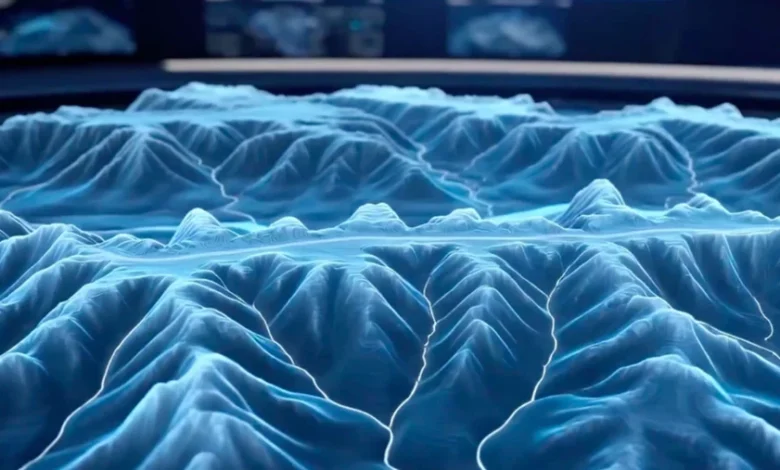
Complementing this, AI-OreSeeking is engineered specifically for the granular task of locating mineral deposits. It functions by synthesizing a deep repository of geoscience knowledge, standardized exploration models, and more than 200 proprietary algorithms. The system processes a massive array of variables, including geochemical compositions, remote sensing imagery, and deep-crust geophysical data. Once the data is ingested, AI-OreSeeking generates three-dimensional models of underground structures, predicts potential ore-bearing zones, and produces comprehensive evaluation reports. This shift from static two-dimensional mapping to dynamic three-dimensional modeling is a critical advantage in identifying deposits that are not immediately apparent on the Earth’s surface.
Empirical Evidence of Efficiency Gains
The most compelling evidence of the system’s efficacy can be found in the results of its pilot program in the western Qinling region. Historically, an exploration project of this scale would have necessitated months of data analysis by a large team of geologists. In this controlled test, the AI-OreSeeking system processed data derived from 32 distinct maps (scale 1:50,000) in just five days.
The system’s output was highly specific: it successfully identified two primary target zones for gold exploration and an additional four areas that warranted immediate further investigation. This rapid filtering of high-potential regions allows exploration teams to allocate their limited financial and human resources toward the most promising sites, significantly reducing the "discovery cost" associated with unsuccessful drilling or sampling campaigns.
The Human-AI Collaboration Paradigm
A critical point of emphasis for the CGS is that these AI systems are not designed to displace the professional geologist, but rather to serve as a high-velocity force multiplier. The platforms offer three distinct modes of operation: expert-led, fully automated, and human-AI collaboration. In the collaborative mode, the AI acts as a sophisticated assistant that handles the heavy lifting of data crunching, while the geologist provides the final interpretive layer and makes the critical decisions regarding which sites to prioritize for physical drilling.
This model acknowledges the inherent complexity of geological interpretation, which often requires nuanced context that an algorithm might overlook. By automating the routine analysis, the AI frees geologists to focus on higher-level decision-making, such as assessing the economic viability of a site, local environmental constraints, and the logistical challenges of infrastructure development.
Broader Implications for Global Resource Markets
The deployment of these AI tools has far-reaching implications for the global mining industry, which is currently struggling to keep pace with the massive demand for materials required for the energy transition. The push toward electric vehicles, renewable energy infrastructure, and advanced electronics has placed intense pressure on the supply chains for lithium, cobalt, and rare earth elements.
The ability to accelerate the exploration phase of the mining lifecycle is a massive competitive advantage. If mining firms and state-backed entities can reduce the "exploration lead time"—the period between the decision to explore and the confirmation of a viable deposit—they can bring new sources of critical minerals online significantly faster.
However, the technology also raises questions about the future of geological data security and the geopolitical competition for resources. As China refines these tools, it may establish a technological hegemony in the mineral exploration sector, potentially influencing the discovery and acquisition of mineral rights in developing nations where Chinese mining firms are already heavily invested.
Challenges and Future Outlook
Despite the impressive performance metrics, industry experts remain cautious about the limitations of AI in geology. While AI can identify patterns and correlations with high precision, it cannot replace the physical verification required in the field. Geological anomalies detected by AI must still be proven through core sampling, chemical assaying, and environmental impact assessments. The "ground truth" remains the final arbiter of any mineral exploration project.
Furthermore, the quality of the AI’s output is inherently tied to the quality of the input data. In regions where geological data is sparse, outdated, or poorly digitized, the effectiveness of the system is naturally constrained. The ongoing challenge for the CGS and other developers will be the continuous updating of these databases to ensure that the AI remains calibrated to the latest geological findings.
As the industry moves forward, the integration of AI into mining is likely to become the new baseline for standard operations. The success of the AI-GeoMapping and AI-OreSeeking systems serves as a proof of concept that will likely trigger a wave of investment in similar technologies globally. As mining companies look to de-risk their operations and capitalize on the surging demand for critical materials, the convergence of artificial intelligence and earth science will undoubtedly become the most important development in the natural resources sector for the next decade. The transition from human-intensive exploration to data-driven, automated discovery is no longer a futuristic concept—it is a present-day reality that is already reshaping the map of the world’s mineral wealth.
Related posts: